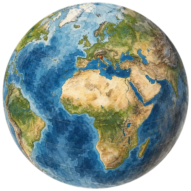
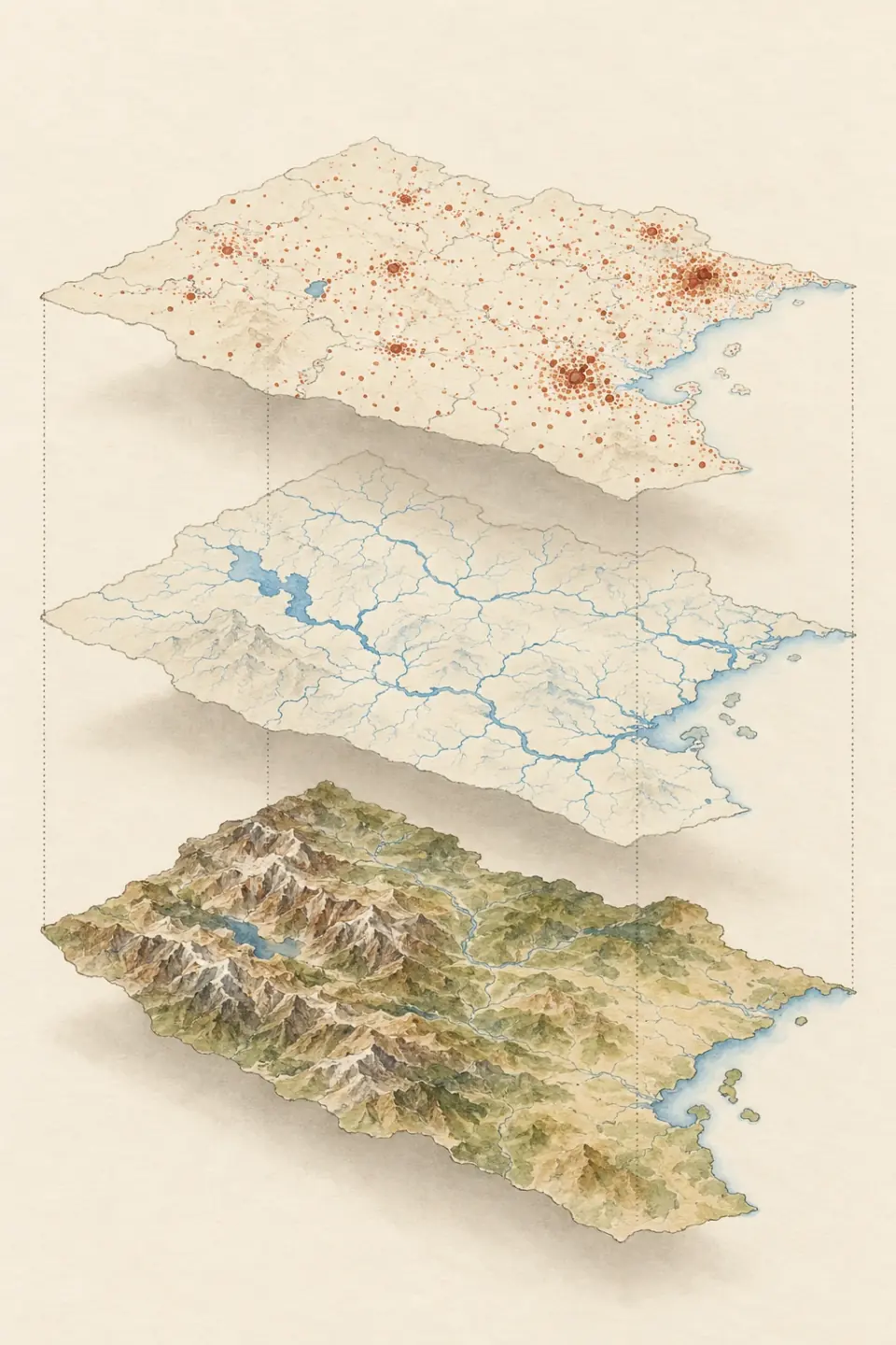
Hand-painted atlas view of an alpine river valley winding down to the sea

See the world. Understand how it connects.

Learn geography on an interactive world map

Godwana is a free interactive atlas for learning geography. Zoom from the globe to a single valley, switch on real data layers, and practice countries, capitals, and regions with map quizzes.

  • From globe to city level
  • Real open-data layers
  • Quizzes and spaced review

Ask the atlas

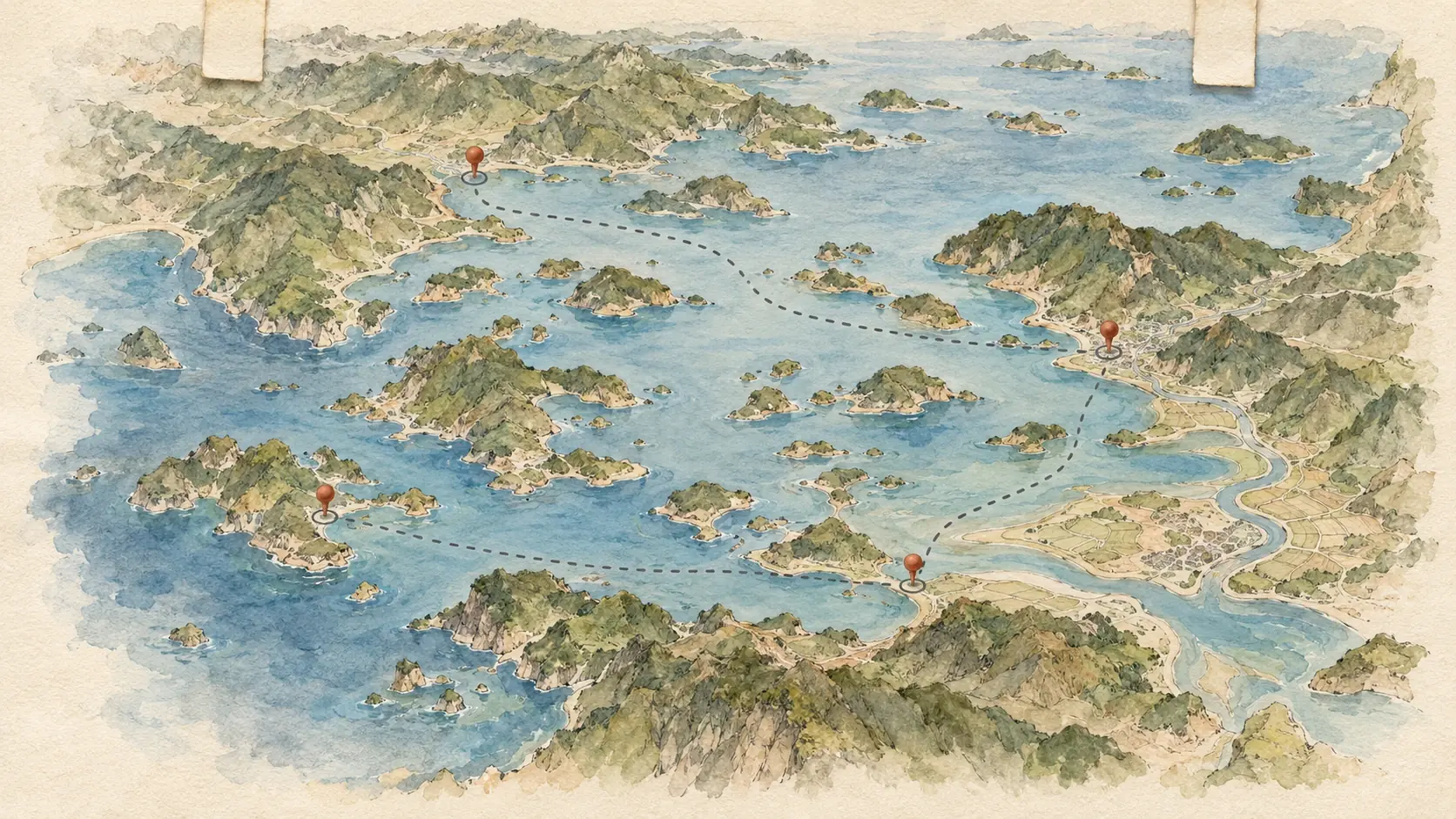
Ask the AI map assistant to show you any place

Type a request and the atlas moves, switches layers, and marks what you asked about.

Sign in to try the map assistant. It uses your monthly AI allowance.

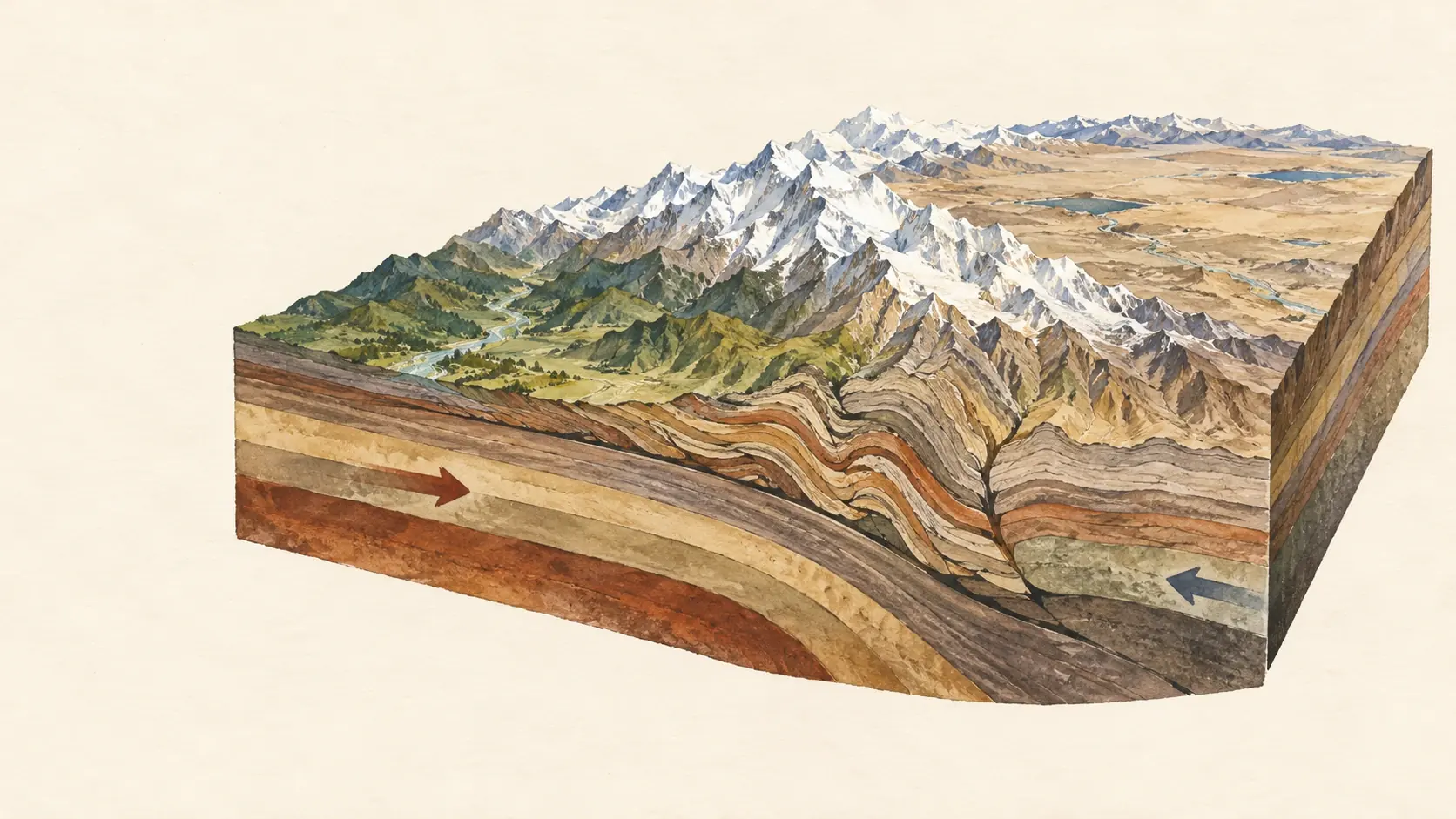
Ask for a mountain range and the atlas flies there and switches to the physical layer, so relief and valleys stand out.

Try it in the atlas

What you can do

Learn countries, regions, and physical geography in context

  • 01

    Zoom from the globe to any city

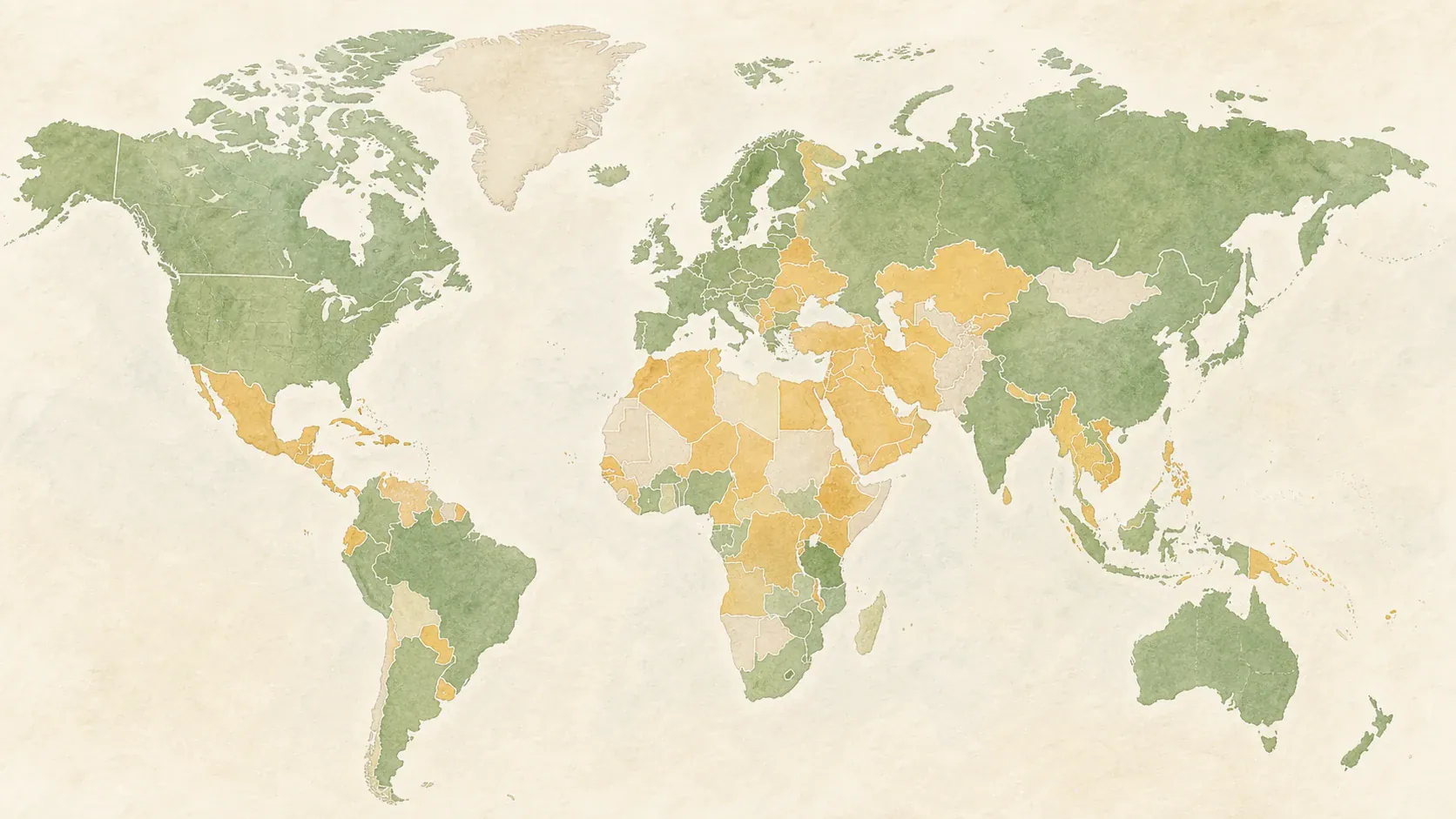
    Zoom from continents to cities on one continuous world map, so every place stays connected to its neighbors and its region.

  • 02

    Compare relief, climate, and population layers

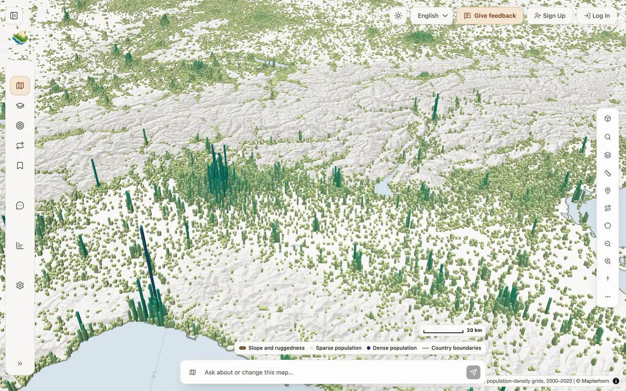
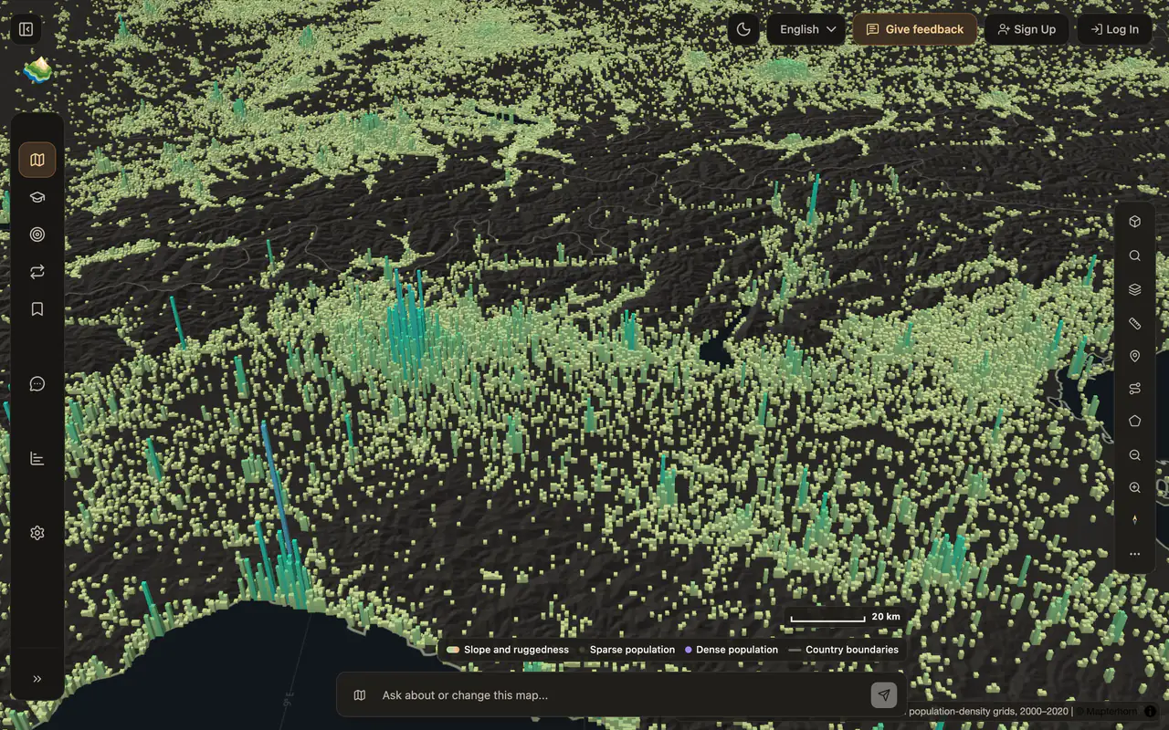
    Switch between relief, rivers, climate, population, and night lights to see how land, water, and people shape each other.

  • 03

    Practice with map quizzes and spaced review

    Find and name countries, capitals, and regions on the map itself, read why each answer is right, and let spaced review bring back the places you are about to forget.

A world worth understanding

Geography becomes memorable when every fact has a place

A capital, a river, or a climate zone is easier to remember when you can see where it sits and what surrounds it. Godwana keeps every fact on the map: you explore a place in its region, compare it with its neighbors, and practice recalling it in the same view.

  1. Begin with the whole picture

    Move from globe to city-level detail without losing context

    Start on the globe and zoom continuously to a country, a region, or a single city. Neighbors, coastlines, and mountain ranges stay visible as you go, so you always know where you are. Moving between scales builds a mental map that holds up long after you close the atlas.

    • Continuous scale
    • Visible neighbors
    • A stronger mental map
  2. Read the layers together

    See how land, climate, people, and movement shape one another

    Switch between relief, rivers, climate, population, and night lights on the same map. Where do people live, and why there? Which rivers cross borders? Comparing layers turns observations into questions, and questions into explanations you can check against published data.

    • Physical geography
    • Human patterns
    • Evidence-led questions
  3. Follow a question

    Let curiosity create a route through the atlas

    Search for a place, ask the map assistant, or open a lesson, and let one question lead to the next. Save the places and notes you want to keep and pick up where you left off. Exploration stays open, with a clear next step whenever you want one.

    • Open exploration
    • Saved discoveries
    • Focused next steps
  4. Practice in place

    Turn recognition on the map into knowledge you can retrieve

    Quizzes ask you to find and name places on the map itself, and every answer comes with a short explanation. Spaced review brings back what you are about to forget, and Progress shows which regions you know well and which need another round.

    • Map-based quizzes
    • Useful review
    • Geographic progress
  5. Build a living atlas

    Keep discoveries together instead of starting over each time

    Pins, notes, and saved places add up to your own atlas. Revisit a region with a new layer or a new question and your earlier discoveries are still there. Over time the map becomes a record of what you have explored, ready for the next trip, lesson, or exam.

    • Personal collections
    • Knowledge that accumulates
    • One connected workspace

Built on open data

Maps and facts you can trace to their source

The atlas draws on published scientific and public datasets, and every lesson names the evidence behind its facts.

Data sources in the atlas

Natural Earth
Borders, coastlines, rivers, lakes, and places
NASA Earth observations
Blue Marble imagery, night lights, snow, and fires
WorldPop and GHSL
Population density and urban growth
Copernicus Sentinel-2
Cloud-free satellite imagery
Mapterhorn, GEBCO, and NOAA
Terrain elevation, ocean depth, and storm tracks
World Bank
Country indicators such as income and urbanization

How lessons are built

  1. 01Five levels: places of the world, maps and the globe, map skills and physical Earth, spatial patterns, and geographic methods
  2. 0248 units with worked examples, vocabulary, and checks
  3. 03Each unit cites reviewed sources

Questions

Frequently asked questions about Godwana

Is Godwana free?

Yes. The atlas, lessons, map quizzes, spaced review, and progress by region are free, and no payment details are needed. Some features, such as the AI map assistant and offline map regions, have usage limits.

See what is included

Do I need an account?

No. You can explore the atlas and take map quizzes right away. A free account keeps your saved places, progress, and review schedule across devices.

What can I learn with Godwana?

Countries and capitals, continents and regions, physical geography such as mountains, rivers, and climate, and patterns like population and urban growth. The lessons cover five levels in 48 units, from places of the world to geographic methods.

How do the geography map quizzes work?

You find and name places such as countries, capitals, and regions on the map itself. Every answer comes with a short explanation, and spaced review brings back the places you are about to forget.

Where does the map data come from?

From published scientific and public datasets, including Natural Earth, NASA Earth observations, WorldPop, Copernicus Sentinel-2, GEBCO, NOAA, and the World Bank. Every lesson names the sources behind its facts.

Can teachers use Godwana with a class?

Yes. Teachers create a class, share its class code, assign map quizzes and lessons, and see which regions and topics students still find hard.

Godwana for schools

Does Godwana work on phones and tablets?

Yes. Godwana runs in the browser on phones, tablets, and computers, and you can download map regions to use offline.

Start exploring

Pick a place and see what the layers reveal

Start with a country you know, or one you have never looked at closely.