Starter
For small cohorts and pilot programs.
Capacity
student accounts
Annual billing
- Flexible classes within the student limit
- Assignments, analytics, and progress tracking

Designed for the classroom
Plan map-led lessons, turn exploration into activities, and see what your class understands, all in one atlas that teachers and students share.
How it works
Four steps, all in one teacher area.
01
No email needed. New students wait in your approval list until you let them in.
These users are waiting for your approval to join Class 7B.
02
Describe a quiz, a fill-the-map set or a map task. AI drafts it, and you check it next to the map students see. Click a country to add or remove it.
Class 7B
Uses your AI allowance
Find Estonia on the map
Find Latvia on the map
What is the capital of Lithuania?
03
Pick your own material or a lesson, then add instructions and a due date for a class.
04
The class overview shows completion, accuracy and activity. Your materials show how students did on each question and country.
Students
24
3 Pending
Completed
41
Class Average Accuracy
78% · not a grade
Total Practice Time
312 min
6 Assignments
For students
Students explore, answer and review on the same atlas you teach with.
Terrain, rivers, population, night lights and satellite imagery, each layer with its source.
Students click the country or place, and each answer comes with an explanation.
From places of the world to geographic methods, for ages 9 to 16, with cited sources.
Ask in plain words, and the atlas flies to a place, switches layers or measures a distance.
MCP & AI
Connect ChatGPT, Claude or another MCP-compatible assistant to Godwana. Teachers draft quizzes and map tasks, assign them and check class results from the chat.
Optional. What you share goes to that assistant's provider, under your account with them. You can disconnect at any time.
Example conversation
Teacher
Tool call
draft_materialsave_materialAssistant
Privacy & administration
Student accounts need only a username and password.
No analytics, session recordings, ads or third-party tracking for school accounts.
Account and progress data is stored in Frankfurt, Germany (EU).
Map assistant requests are processed in the EU, and chats are not saved to the account.
A DPA for schools and school authorities is available on request.
School pricing
Choose the plan by learner capacity. Starter, Standard and School can be activated directly; larger institution rollouts can be planned with us.
For small cohorts and pilot programs.
Capacity
student accounts
Annual billing
For growing schools with several classes.
Capacity
student accounts
Annual billing
For schools running regular classroom practice.
Capacity
student accounts
Annual billing
For districts and larger institution rollouts.
Price
Custom
Need help choosing a Godwana plan?
Create a free institution account now. You can add billing later from the admin billing page.
Guide for schools
What teachers, school leaders and IT or data protection leads usually ask before a rollout.
The lessons are organised in five levels for ages 9 to 16: places of the world, maps and the globe, map skills and physical Earth, spatial patterns, and geographic methods. Each of the 48 lessons is taught on the map, cites its sources and ends with a lesson check.
Spaced review brings earlier material back on a fixed schedule, based on each student's own results. The atlas layers come from published datasets such as Natural Earth, NASA, Copernicus and the World Bank, and each layer names its source.
Your own materials are quizzes, fill-the-map sets and map tasks. Describe one and AI drafts it, mixing your own choice or country questions with built-in country and capital questions; you review it next to the map before publishing. Add it to a class library or assign it, or assign a published lesson, with instructions, a due date and an estimated time. You can comment on a student's work, set class rules such as AI use, and export results.
Answers are checked on the server. Lessons record completion and time spent without a score. Results show how students did on each question and country, and accuracy is shown as a measure, not a grade.
A school admin creates the institution account and shares an invite link with teachers, who join right away or after approval. Teachers create their classes, and every class gets its own join code.
Students register with the class code and a username, without an email address, and wait for their teacher's approval. With single sign-on, students and teachers sign in with their school accounts via OpenID Connect. Districts can group several schools in a region with their own admins.
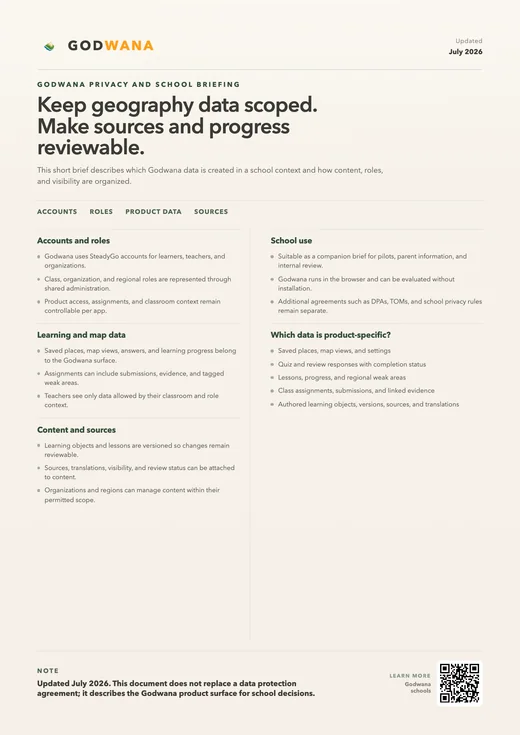
Student accounts need only a username and password. School accounts have no analytics, session recordings or third-party tracking; we only use Sentry for error monitoring. Account and progress data is stored in Frankfurt, Germany (EU).
The map assistant is optional and needs sign-in. Its requests are processed in the EU and, according to the provider, neither kept nor used for training; the conversation stays in the browser. Admins can delete inactive student accounts in bulk, and a data processing agreement is available on request.
FAQ
Answers to common questions from schools.
For schools
Create an institution to set up classes and assignments, or try the atlas first to see how a lesson could look.